Why should hikers visit Drøbak and Frogn?
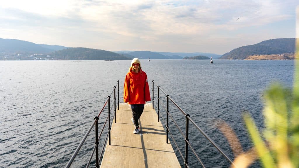
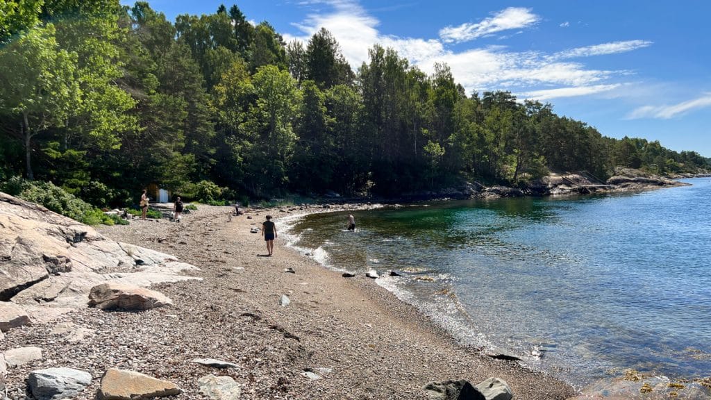
Drøbak and Frogn have everything in a compact version. Varied nature and a rich animal and bird life. Areas of forest mixed with agricultural land. Great skiing opportunities in winter and a 90-kilometre network of marked trails in summer. The opportunities for hiking on the land and on the island Håøya combined with the proximity to the fjord on both sides are fantastic. The fjord and the islands are a fantastic part of Frogn. Swimming in Drøbak is a classic everyone should indulge in from time to time, a nice prize after a hike.
Frogn has several beautiful coastal paths, do you have any favourites?
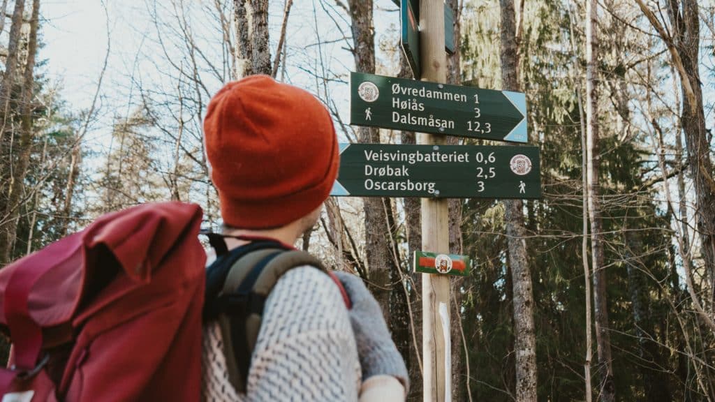
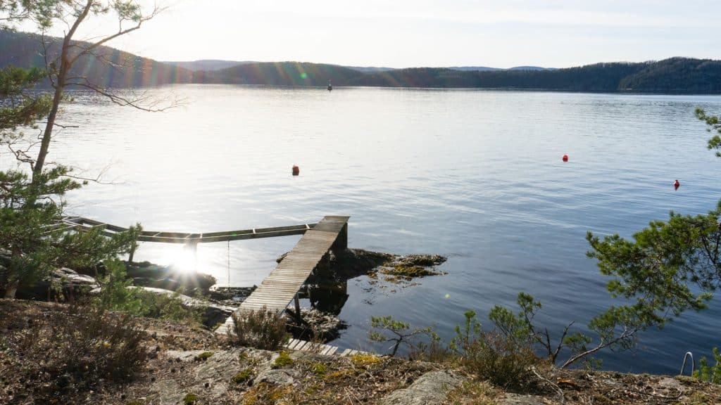
Frognmarkas Venner is working hard to secure the path from Drøbak and out towards Torkilstranda. We have now marked the coastal path from Torkilstranda to the Vestby municipal boundary. It is incredibly widely used. I would also like to advertise increased use of the old post trail from Drøbak / Lehmannsbrygga to Torkilstranda. Leave the car and walk directly.

What’s your top tip for a great hike in our area?
If you don’t already have Frognmarkas venner’s hiking map and our hiking book, get them first. Browse through them and choose an area you haven’t walked much in. Feel free to bring a travelling companion.
Personally, I think walks along the sea are especially nice in the spring before the boat traffic picks up. A coastal path was previously marked on the outside of Hallangspollen that leads into our path network at Marikova towards Digerud. I think the transition from winter to summer is fantastic.
The view towards Håøya and seeing the changes in colour as the different deciduous trees grow their leaves is magical.
For families with children, parking at Lindebråte and a trip to Mindas café are highly recommended. It’s not too far to walk and you’ll often enjoy the company of other walkers. From the car park, I’d also recommend a trip to Furukollen, Frogn’s highest point on the mainland. NB! The old tower is unsafe and the warning not to enter it must be respected.
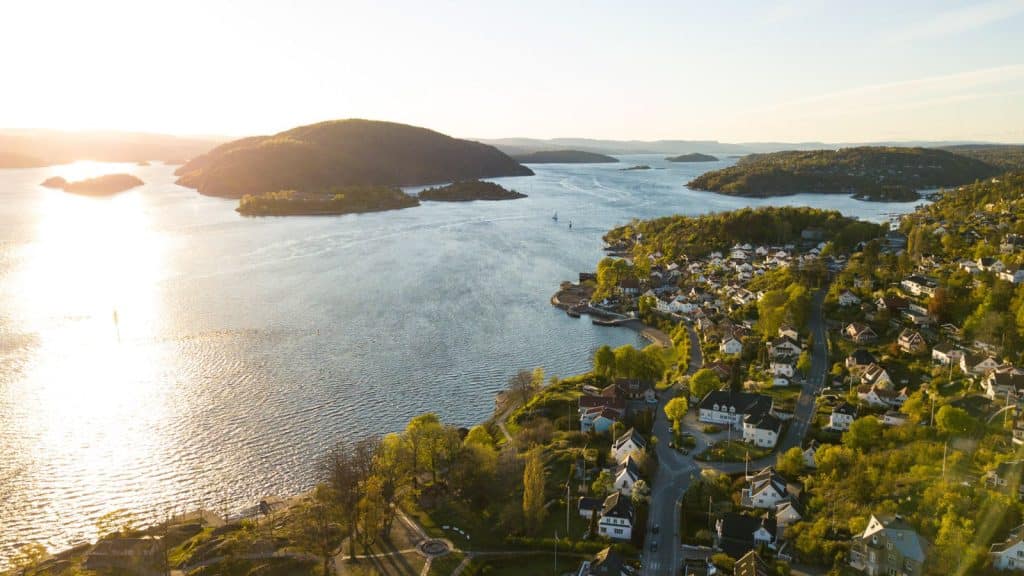
The top of Håøya is Frogn’s highest point. Can you give a short summary of this trip?
Håøya is 230 metres high and the view is fantastic! It is possible to arrange transport with the Oscarsborg ferry. This must be arranged by phone before the trip. The road up is a marvellous structure and a stop at the large lower battery is a must. There is also a suggested tour from the west side of the island.
This route is for people who are good at reading maps and terrain. It is steep and demanding and not suitable for everyone. Remember that the area east of the road up from the pier opposite Oscarsborg and the path further north is the sea eagle’s sanctuary and is off limits to us.

Any other hiking favourites in the area you’d like to highlight?
I really want to encourage people to study maps and our tour suggestions and try new routes. Trying new areas is an experience in itself. It’s also important to spread out the traffic a little. Have a good trip!